Ethiopia waterpoints monitoring platform

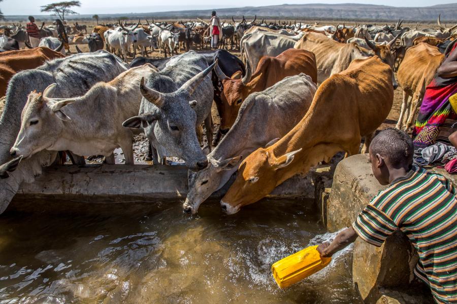
Community members gather at a waterpoint to see how gauging stations can be used to directly measure water levels.
Photo: S. Alemayehu (Alliance Bioversity/CIAT).
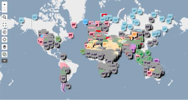
This web-based platform with information on water and pasture availability is digitising climate resilience for Ethiopia's pastoralists.

Facing increasingly frequent and severe climate impacts, pastoralist communities and government agencies need support to make better decisions that can benefit herds, communities and the country at large.
The Waterpoints Monitoring Platform aims to build the resilience of vulnerable pastoralist communities, supporting them in adapting to rising climatic challenges. The platform integrates real-time data sourced from a range of remote sensing techniques. This includes satellite rainfall estimates, among others, to provide comprehensive insights into water resources management, as well as calibrated and validated hydrological and water balance models to simulate water levels at each waterpoint.
The tool allows users to
- Explore an interactive map and view the location of each waterpoint in Ethiopia.
- Get detailed data on existing infrastructure.
- Explore key characteristics of a waterpoint's surroundings and community.
- Access comprehensive waterpoint data
- Drill down into historical temperature and precipitation records
- Access seasonal and sub-seasonal forecasts to make informed decisions.
- Use a routing module to find a path to a waterpoint
- Use a forage module to allows users to monitor forage production and see how it changes over time.
This project is a collaboration between the Alliance of Biodiversity International and International Center for Tropical Agriculture (CIAT), the Ethiopian Ministry of Agriculture, and the Ethiopian Institute of Agricultural Research (EAIR),